Stammham (Altötting)

Cet article est une ébauche concernant une localité allemande.
Vous pouvez partager vos connaissances en l’améliorant (comment ?) selon les recommandations des projets correspondants.

Ne doit pas être confondu avec Stammham (Eichstätt).
| Stammham | |||
 | |||
 Armoiries | |||
| Administration | |||
|---|---|---|---|
| Pays |  Allemagne Allemagne | ||
| Land |  Bavière Bavière | ||
| District (Regierungsbezirk) | Haute-Bavière | ||
| Arrondissement (Landkreis) | Altötting | ||
| Bourgmestre (Bürgermeister) | Franz Lehner | ||
| Partis au pouvoir | CSU | ||
| Code postal | 84 533 | ||
| Code communal (Gemeindeschlüssel) | 09 1 71 130 | ||
| Indicatif téléphonique | 08 678 | ||
| Immatriculation | AÖ | ||
| Démographie | |||
| Population | 1 065 hab. (2009) | ||
| Densité | 188 hab./km2 | ||
| Géographie | |||
| Coordonnées | 48° 14′ 58″ nord, 12° 53′ 05″ est | ||
| Altitude | 367 m | ||
| Superficie | 567 ha = 5,67 km2 | ||
| Localisation | |||
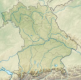
| Géolocalisation sur la carte : Allemagne
Géolocalisation sur la carte : Bavière
| |||
| Liens | |||
| Site web | www.gemeinde-stammham.de | ||
modifier  | |||


Stammham est une commune de Bavière (Allemagne) de 1 065 habitants, située dans l'arrondissement d'Altötting, en Haute-Bavière.
v · m Villes et communes de l'arrondissement d'Altötting | ||
|---|---|---|
|  | |
 Portail de la Bavière


