Plumstead

Cet article est une ébauche concernant Londres.
Vous pouvez partager vos connaissances en l’améliorant (comment ?) selon les recommandations des projets correspondants.
| Plumstead | |||
 Héraldique | |||
| Administration | |||
|---|---|---|---|
| Pays |  Royaume-Uni Royaume-Uni | ||
| Nation |  Angleterre Angleterre | ||
| Comté | Greenwich (borough londonien) | ||
| Code postal | LONDON SE18 020 | ||
| Démographie | |||
| Population | 47 145 hab. (recensement 2001) | ||
| Géographie | |||
| Coordonnées | 51° 29′ 13″ nord, 0° 04′ 56″ est | ||
| Localisation | |||
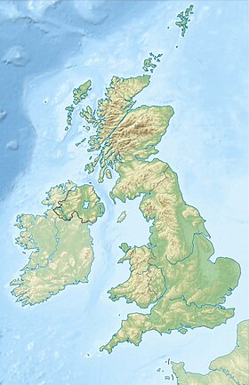
| Géolocalisation sur la carte : Royaume-Uni
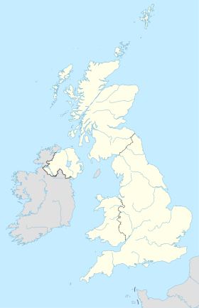
Géolocalisation sur la carte : Royaume-Uni
| |||
modifier  | |||

Plumstead (fondé en 960) est un quartier de l'est de Londres dans le district de Greenwich.
v · m | ||
|---|---|---|
| Districts |
|  |
| Attractions |
| |
| Street markets |
| |
| Parcs et espaces verts |
| |
| Circonscription |
| |
| Ponts et tunnels |
| |
| Gares et stations ferroviaires |
| |
| Autres sujets |
| |
| ||
 Portail de l’Angleterre
  Portail de Londres


