Lonedell, Missouri
Unincorporated community in the American state of Missouri
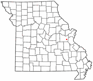
Lonedell is an unincorporated community in southeastern Franklin County, Missouri, United States.[1] It is at the intersection of Route 30 and routes N and FF and approximately eight miles east of St. Clair. The Little Meramac River flows just south of the community.[2]
A post office called Lone Dell was established in 1879, and the spelling was changed to Lonedell in 1895.[3] The community was named for the remote dell in which it is located.[4] The ZIP Code for Lonedell is 63060.[5]
References
- ^ U.S. Geological Survey Geographic Names Information System: Lonedell, Missouri
- ^ Missouri Atlas & Gazetteer, DeLorme, 1998, First edition, p. 48 ISBN 0-89933-224-2
- ^ "Post Offices". Jim Forte Postal History. Retrieved September 30, 2016.
- ^ "Franklin County Place Names, 1928–1945 (archived)". The State Historical Society of Missouri. Archived from the original on June 24, 2016. Retrieved September 30, 2016.
{{cite web}}: CS1 maint: bot: original URL status unknown (link) - ^ "Lonedell ZIP Code". zipdatamaps.com. 2022. Retrieved November 11, 2022.
- v
- t
- e
Municipalities and communities of Franklin County, Missouri, United States
County seat: Union
- Berger
- Gerald
- New Haven
- Pacific‡
- Saint Clair
- Sullivan‡
- Union
- Washington

- Charmwood
- Leslie
- Miramiguoa Park
- Oak Grove Village
- Parkway
communities
- Anaconda
- Beaufort
- Beemont
- Boles
- Campbellton
- Catawissa
- Champion City
- Clover Bottom
- Dissen
- Dundee
- Elmont
- Etlah
- Gildehouse
- Hemker
- Huff
- Jaegers Shop
- Japan
- Jeffriesburg
- Kiel
- Kohl City
- Krakow
- Labadie
- Lonedell
- Luebbering
- Lyon
- Maupin
- Monday
- Moselle
- Mount Hope
- Neier
- Noser Mill
- Oetters
- Piney Park
- Port Hudson
- Robertsville
- St. Albans
- Spring Bluff
- Strain
‡This populated place also has portions in an adjacent county or counties
- Missouri portal
- United States portal
38°18′29″N 90°49′39″W / 38.30806°N 90.82750°W / 38.30806; -90.82750
 | This Franklin County, Missouri state location article is a stub. You can help Wikipedia by expanding it. |
- v
- t
- e


