Forollhogna
Mountain in Norway
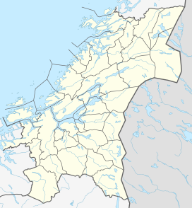

Forollhogna
Location of the mountain
Show map of Trøndelag
Forollhogna
Forollhogna (Innlandet)
Show map of Innlandet
Forollhogna
Forollhogna (Norway)
Show map of Norway
Forollhogna (or Forolhogna) is a mountain located on the border between three municipalities in Norway: Midtre Gauldal and Holtålen (in Trøndelag county) and Os (in Innlandet county). The 1,332-metre (4,370 ft) tall mountain Forollhogna is the highest mountain inside Forollhogna National Park.[3]
The mountain is about 27 kilometres (17 mi) southeast of the village of Enodden in Midtre Gauldal and about 30 kilometres (19 mi) northwest of town of Røros.
References
- ^ "Forolhogna 1332 moh - fakta" (in Norwegian). Toppomania. Archived from the original on 2011-07-22. Retrieved 2011-02-13.
- ^ "Forollhogna, Midtre Gauldal (Trøndelag)" (in Norwegian). yr.no. Retrieved 2018-01-18.
- ^ Mæhlum, Lars, ed. (2017-10-27). "Forollhogna". Store norske leksikon (in Norwegian). Kunnskapsforlaget. Retrieved 2018-01-18.
- v
- t
- e
 | This article about a mountain, mountain range, or peak in Innlandet is a stub. You can help Wikipedia by expanding it. |
- v
- t
- e


